Hybrid Thresholds

By Saba Amini
Thresholds between the built urban fabric and the natural environment at the water’s edge are fluid and ripe with opportunity. Development of public space at the water’s edge - within the threshold - can create new interfaces that can be experienced as a valued and essential part of urban life. Taking a more hybrid approach, such spaces can also include public infrastructure such as stormwater retention and water filtration. When designed in a deliberate way as one system, the urban river’s edge can become a new kind of public gathering space that is fully integrated with necessary technical processes, such as contemporary wetland restoration and water filtration.
Hybrid thinking allows us to envision landscape as both restorative to natural processes, while being highly productive municipal servicing infrastructure and an accessible public space. In this regard, it respects and adheres to the notion held by many architects and landscape architects that the preservation and restoration of urban natural features inevitably depends on citizens’ care and involvement in urban ecologies (1).
The public often perceives water treatment plants - sometimes rightly so - as places for toxins and sewage that makes them unsuitable for public exposure (2). They consider water treatment processes as a human engineering task, were public access is prohibited in order to achieve maximum efficiency and cost-effectiveness (3). When envisioned as a hybrid space, however, urban groundwater filtration, normally considered a toxic process, can be integrated with low-density public recreation areas involving exposure to the environment. In this way, a hybrid design approach allows the designer to critically question the existing condition of the river’s edge and the conventional infrastructure associated with it. It allows the designer to use two seemingly conflicting programs to redefine the river’s edge for both the sake of the river and the benefit of the public.
Using the Lower Don River as case study, we propose a new condition for the river’s edge with a hybrid landscape employing natural approaches along with synthetic interventions. In the past, the precondition of the river’s edge was a purely natural state with original resilience; the present condition of the river’s edge is an engineered, highly channelled, hard-edge flood wall with an artificial ditch which separates city from nature. This hybrid design approach, however, suggests that bringing a natural system back to a state of ecological health and resilience does not necessarily mean a return to a purely natural state in the absence of human experience (4). Instead, it involves the creation of a new “hybrid” landscape that will occupy a middle space between the highly urbanized inner city and the natural environment, in which the natural and human environments are integrated. (figure 1)
Program
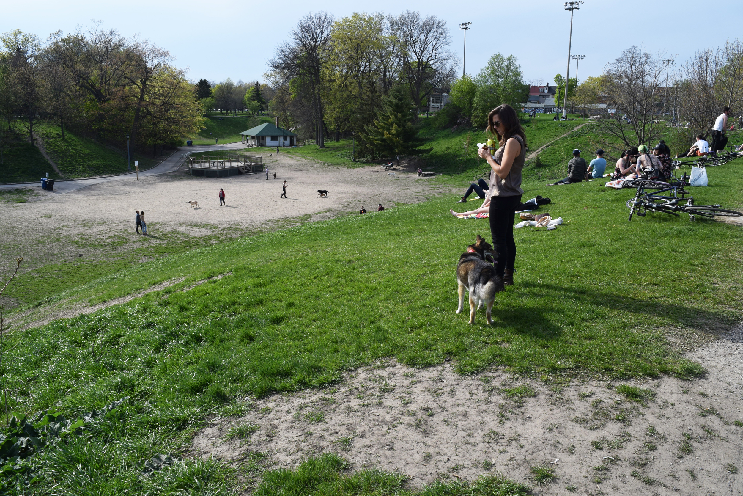
The design proposal tackles existing environmental and ecological issues of the Lower Don River by envisioning a series of three programs/design interventions along the edge of the Don that offer dynamic community interactions, and foster the discourse on social and environmental responsibilities. The focus of this proposal is on the upper section of the Lower Don River, where the valley broadens out into a major floodplain (figure 2-3). The site selections were made based on the critical condition of the site both ecologically and socially (figure 4-5). The design proposal for each site is defined by the same strategy, giving the overall design a sense of coherence and wholeness. The essential ingredients in all three programs are a series of water remediation cells and landforms, along with public programs occupying some part of the landscape. A cafe, a contemplation area, and a rest area, combined with recreational boardwalks, have been assigned for the chosen locations. (figure 6-8) Public facilities are connected with the natural landscape at regular intervals.
In terms of water management, this proposal argues that instead of having conventional infrastructure with a centralized channel, which was the precondition of the river, we can break apart the stormwater system, dividing it into distributed systems along the river (5). Combined sewers are disconnected and surface and stormwater runoff is diverted into a cellular water manage system. The water is absorbed, retained, and purified through different basins, water remediation cells, and soft landforms during its journey to the river. At the same time, people have the opportunity to observe, experience and enjoy the process within the system of boardwalks, elevated decks, and seasonally accessible walkways.
The complete water remediation system includes three steps: a storage basin which collects and settles out sediments; a series of graduated treatment basins/cells, and; a recreational basin at the very end of the process. The proposed remediation cells incorporate a mixture of plants and aquatic organisms, which absorb or break down water contaminants. The suggested plants are color coded to reflect their ability to treat a specified water pollutant within one of the three types of landscapes - the wet meadow, the shallow marsh and the wet marsh. (figure 9)
For all three programs, there is a proposed network of elevated boardwalks along the river that are connected to the existing trail system, and above the landscape filtration cells, to form a complete pedestrian and cyclist circulation system. Public open spaces are provided in the forms of non-flooding decks and seasonally accessible spaces integrated into constructed wetlands. The water system is made visible through the creation of all these habitable landforms, which form a healthy community centre. The recreational boardwalks permit access to water, and are kept unobstructed for activities such as fishing, jogging, swimming, or simply dipping one’s feet in the water. (figure 10,11)
Conclusion
While applied to three specific sites along the Lower Don, this hybrid design strategy can be adopted all the way along the Don River’s edge, and particularly in its lower region. Using this method, it is envisioned that the threshold will be transformed into a network of connected hybrid landscapes with various habitable terraced landforms and destination for pedestrians and cyclists. This approach can also be extended throughout the rest of Toronto or applied in other contexts, as a transformative model for large scale development of hybrid public spaces and critical public infrastructure where a transition between land and water is required.
Endnotes
(1) Hough, Michael. Cities and Natural Process. London: Routledge, 1995. 59.
(2) Deelstra, Tjeerd. “Ecological Approaches to Wastewater Management in Urban Regions in the Netherlands.” In Ecological Engineering for Wastewater Treatment. Proceeding of the International Conference. Sweden: Stensund Folk College, March 1991.
(3) Mossop, Elizabeth . "Landscapes of Infrastructure". The Landscape Urbanism Reader. New York: Princeton Architectural Press, 2006, 163-176.
(4) Hough, Michael. Cities and Natural Process. London: Routledge, 1995.
(5) Belanger, Pierre. "Landscape as Infrastructure". Landscape Journal 28 (2009): 79-95.
Saba Amini is an architectural designer based in Toronto, Ontario. She is a recent graduate of the Master of Architecture program at University of Waterloo School of Architecture where she explored the use of a hybrid/cultural landscape as a new interface occupying a middle space between the built urban fabric and the natural environment.